A PASSION FOR MAPPING
SURVEYING SERVICES
Surveying Services
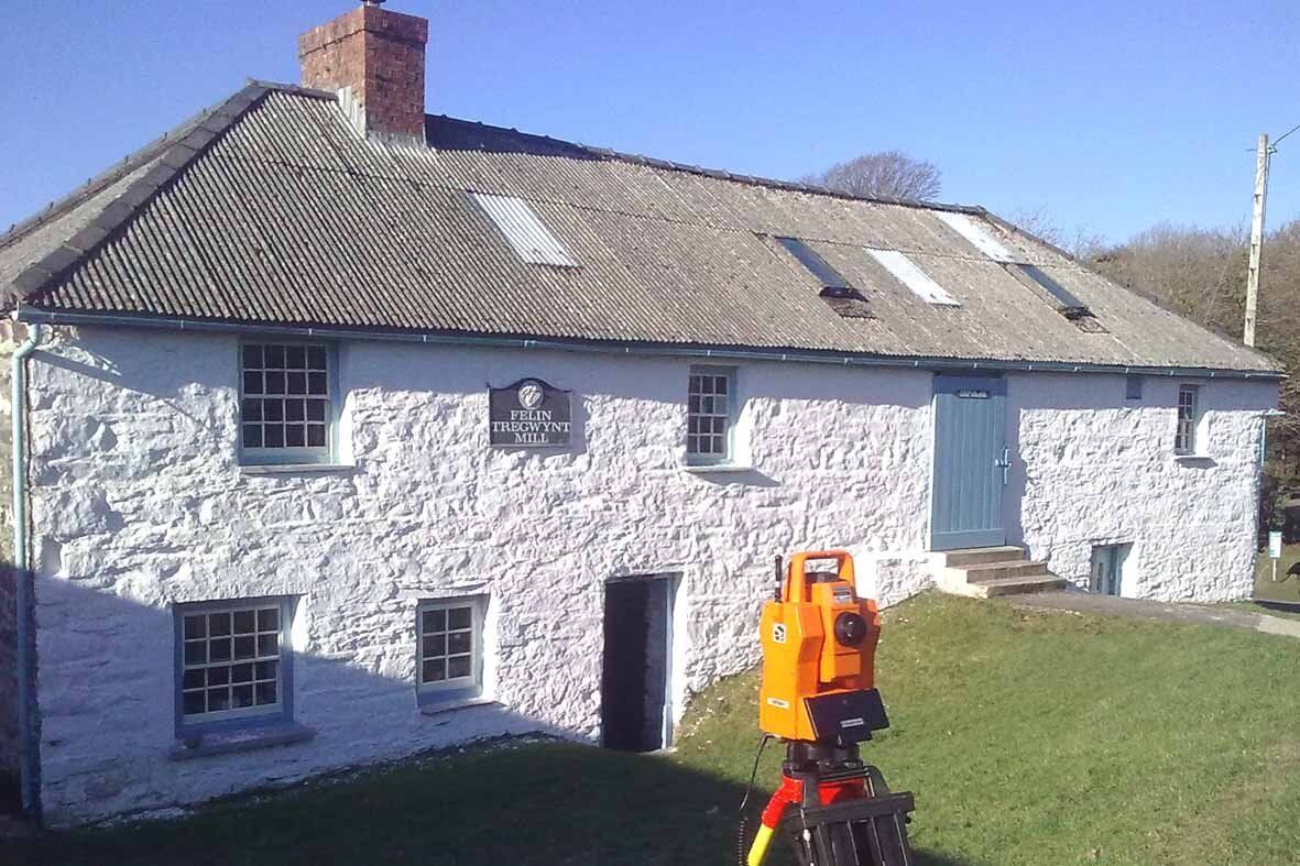
Topographic Survey
The Topographic or Land survey is my specialty. It covers many varied disciplines and you may refer to it by one of the following names. All use the same basic techniques for data capture but the presentation and type of data collected is specific to each application. Please have a look at page 02 Topographic Surveys for more information.
Site Survey / As built survey / Large & small scale land survey
A detailed topographic survey showing the dimensions and levels of a site with all permanent features recorded accurately.
Boundary Surveys
A service aimed at Legal professionals, Property Agents and the general public. Prepare Land Registry compliant plans for un-registered land or registered land that is being divided creating new land titles. Catlings Land Surveys do not undertake boundary surveys of disputed boundaries or set out boundaries from Land Registry plan.
Volume Surveys
All land surveys produce a DTM (Digital terrain model). I use LSS software to process my surveys, one of its main features is volume calculations. Volumes can be calculated in various ways for example compared to a previous survey or above a datum. Stockpiles for example can be surveyed very quickly and a drawing produced to show current stock or change to last months stock. Please give me a call to discuss you exact requirements.
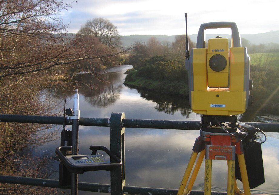
Flood consequence assessment (FCA) / Cross Section Surveys
A cross section drawing shows how the level and gradient of the land changes at a specific location. This type of drawing together with a topographic survey is a requirement of a flood consequence assessment (FCA) where it shows the level of a proposed development in relation to a nearby river or other sources of potential flooding. Cross sections also show how a proposed development will sit between existing structures and can include building heights for example. Cross section drawings can be easily and quickly produced from the DTM (Digital terrain model), created during a topographic survey.
Elevations of Building & Structures
Accurate drawings produced using a combination of traditional methods and non contact observations.
Measured Building Surveys
Please have a look at page 03 Building Surveys for more information.
Cost effective Surveys throughout South & Mid Wales